Approach
From data to drill
How we find the ground worth drilling
We read every piece of data a region holds, and go only where the evidence points.
01
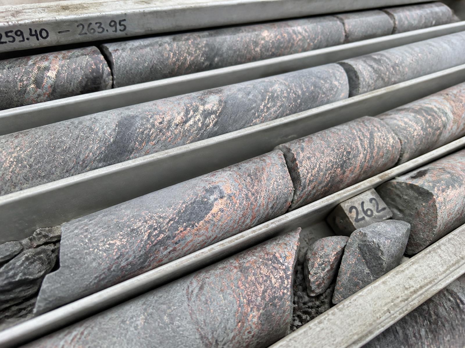
Read the record
A century of drill logs, assays and surveys, scattered across archives and languages, turned into one record.
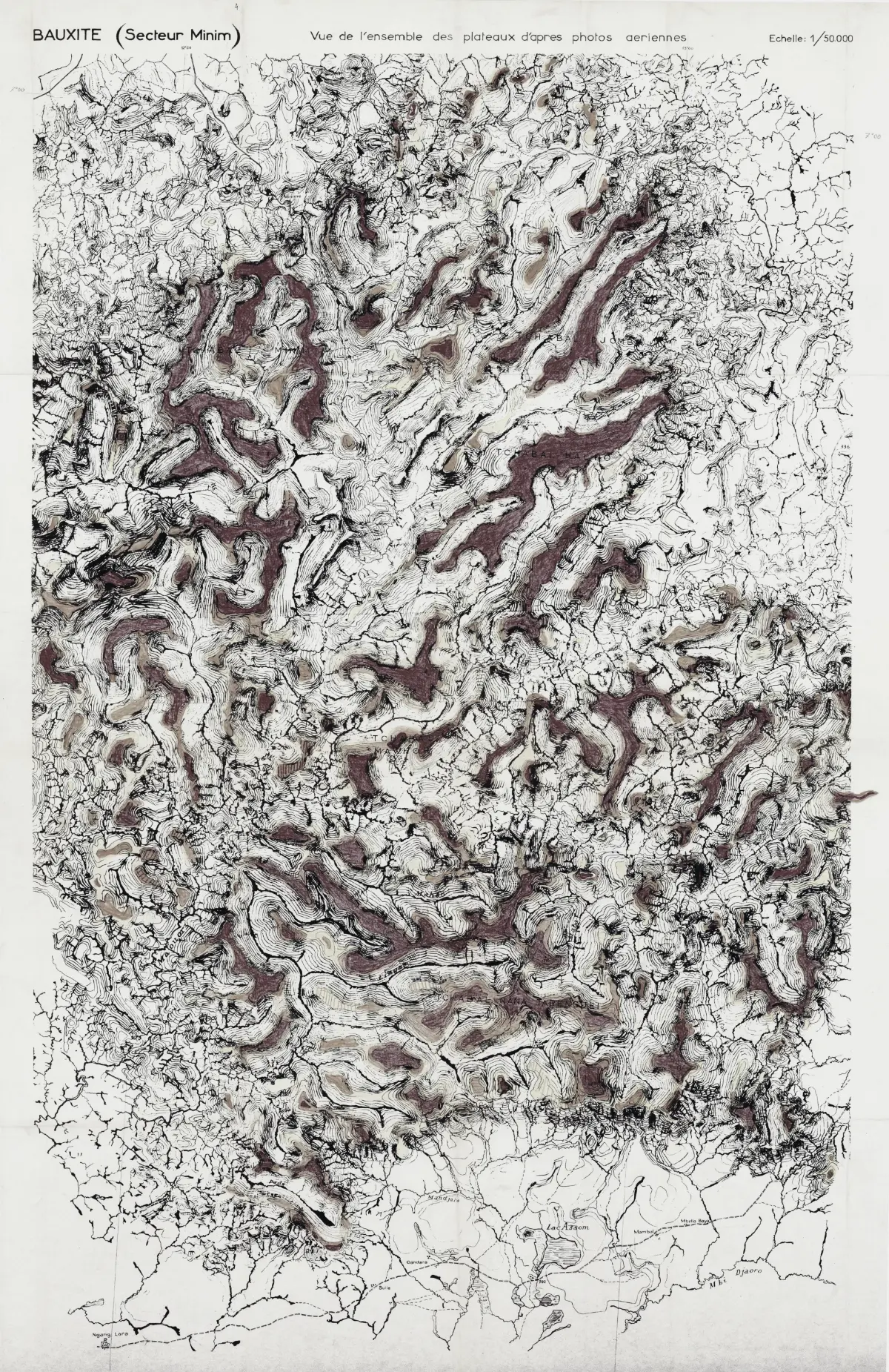
02
Rank the ground
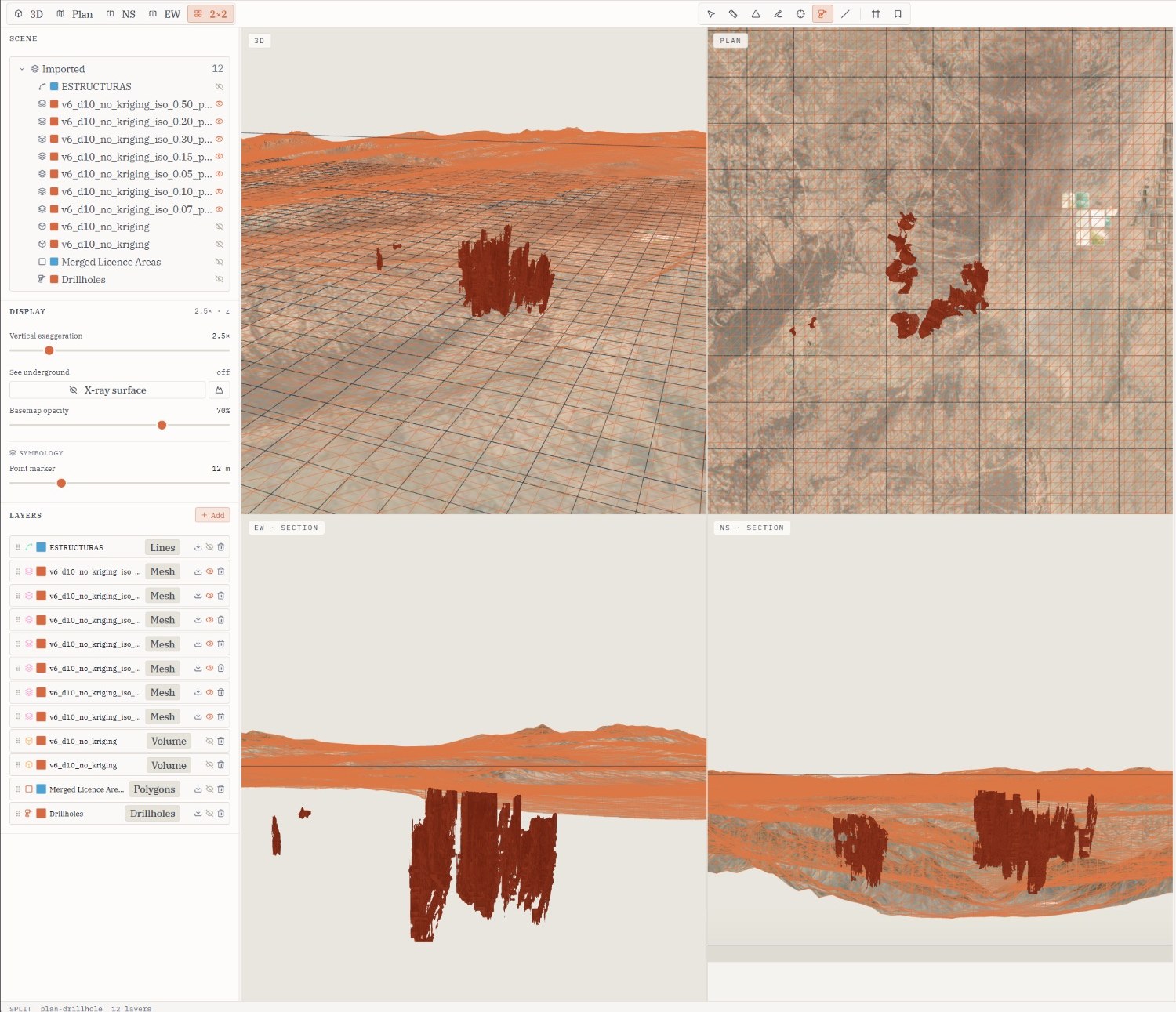
Our model ranks every cell of a region by its potential, and shows the geology behind each score.
03
Test it in the field
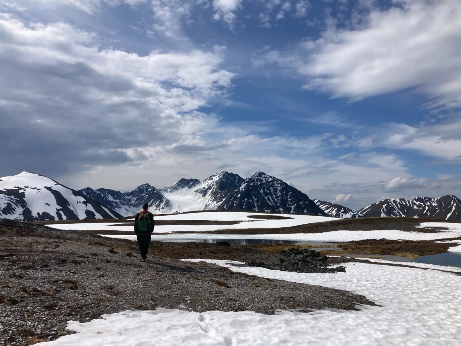
Small teams go to the best ground first. Every result goes back into the model, so each hole is better placed than the last.
04
Back the best of it
We put our own capital behind the strongest ground, released in stages as the results earn it.
Partner with us